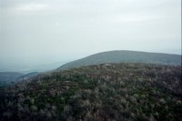
Mount Frissell, Connecticut
2380 ft
450 ft vertical gain
3.6 miles round trip
|
Mount Frissell, Connecticut2380 ft 450 ft vertical gain 3.6 miles round trip |
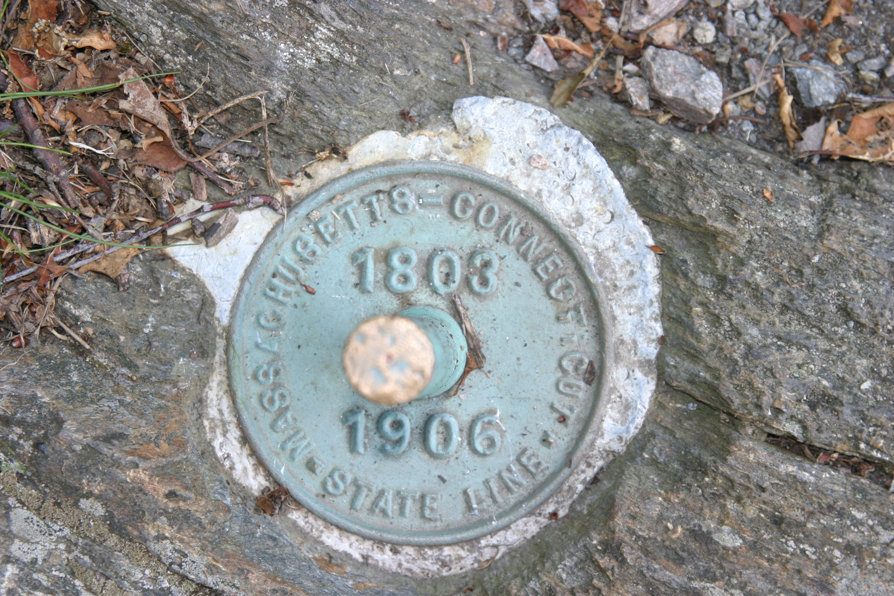
From the north: From South Egremont, Massachusetts, follow SR 23 to the west until SR 41 junctions to the left(south). In less than mile, Mount Washington Road turns to the right off of SR 41. Follow Mt. Washington Road past Bash Bish Falls State Park. Eventually, Mount Washington Road becomes a gravel/dirt road. Continue onward until you pass a Massachusetts/Connecticut state line marker. Immediately after this is a small parking lot on the left with an “AMC” sign. Park here.
From the south: In Salisbury, Connecticut, go west on US 44 and then turn right on to Factory St. Shortly thereafter, you should bear to the right onto Mt. Riga Road. Mt. Riga road eventually turns into a gravel/dirt road and continues a couple of miles to Mt. Washington Road. Turn right onto Mt. Washington Road, and go 3.3 miles to the AMC parking lot on the right.
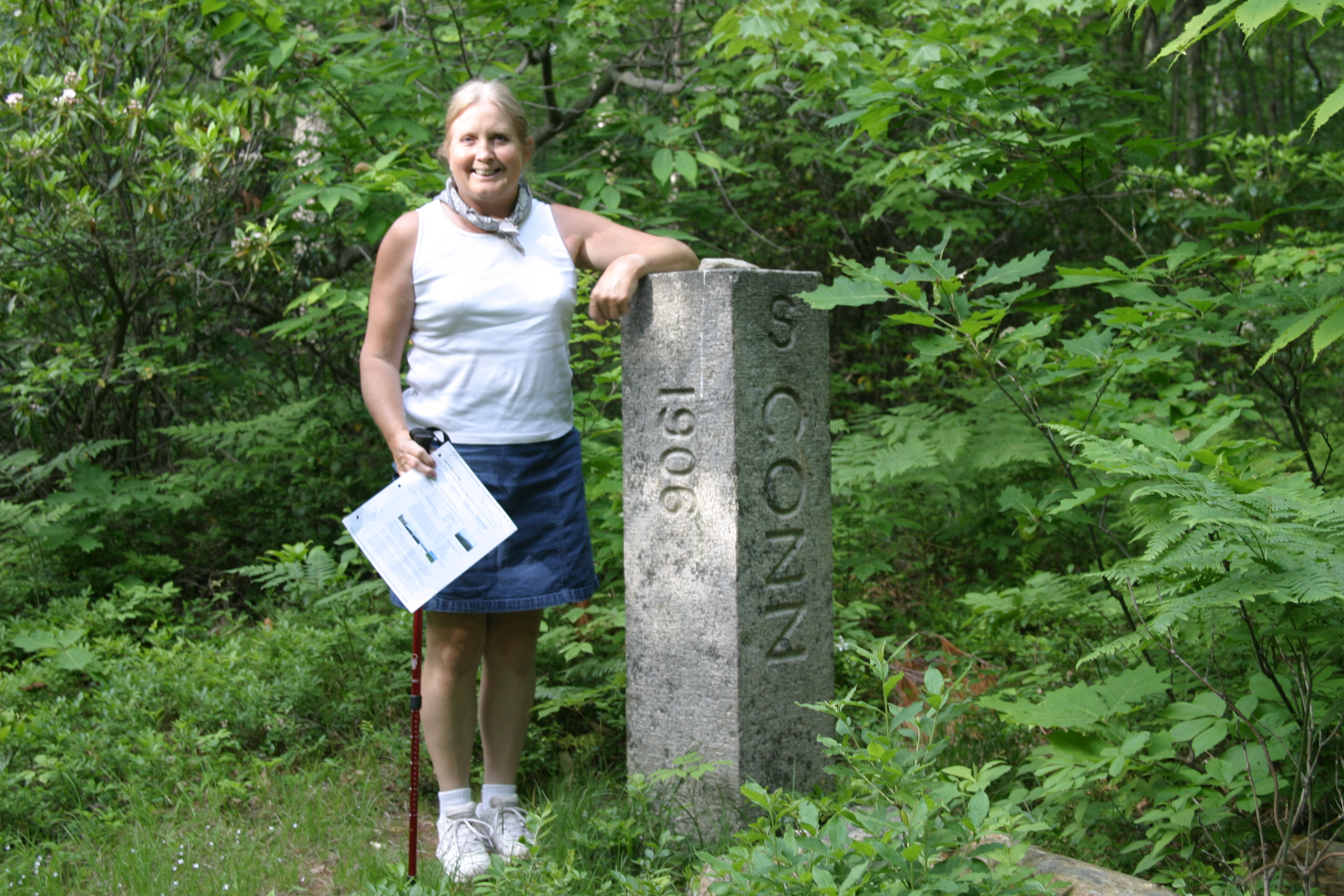
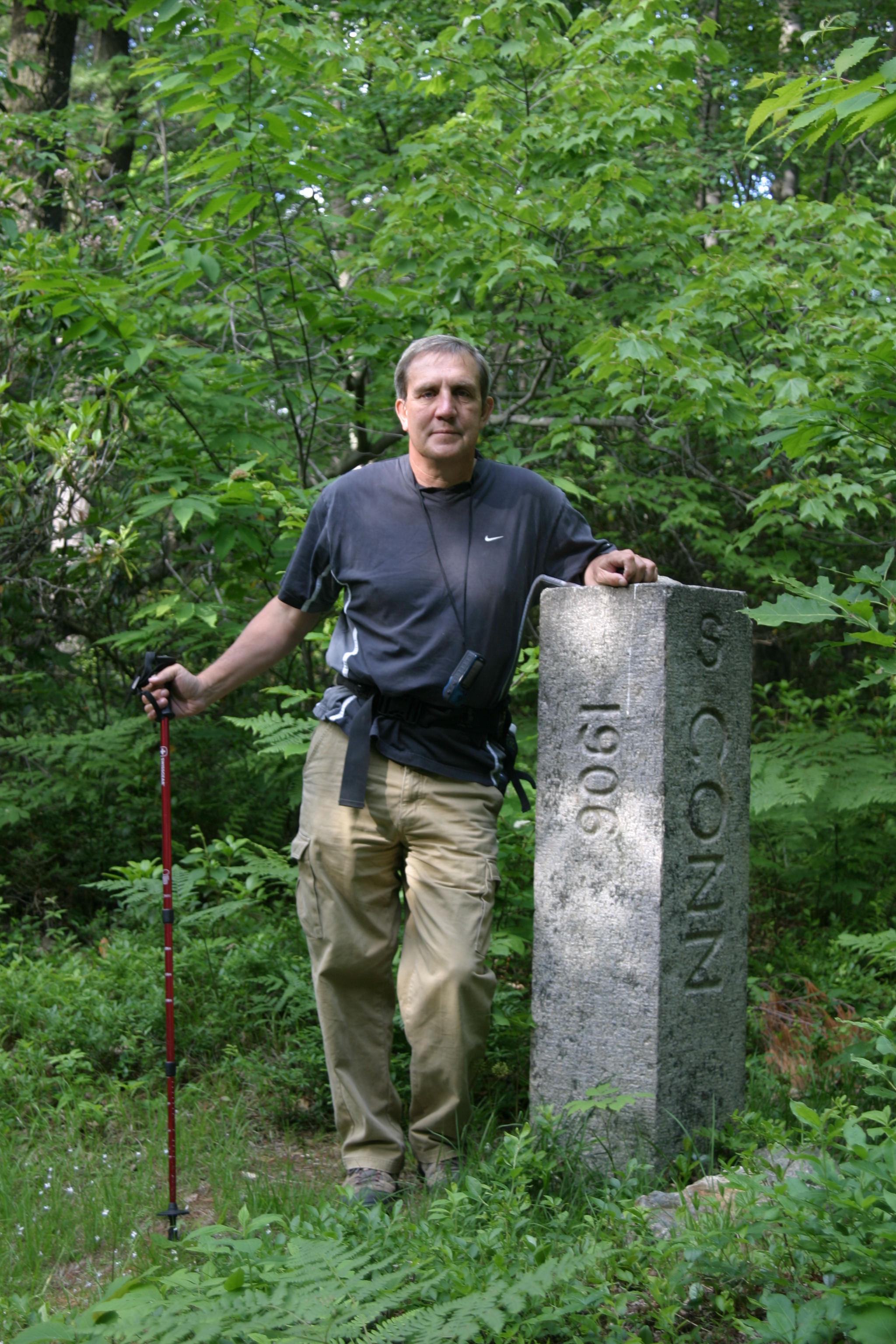
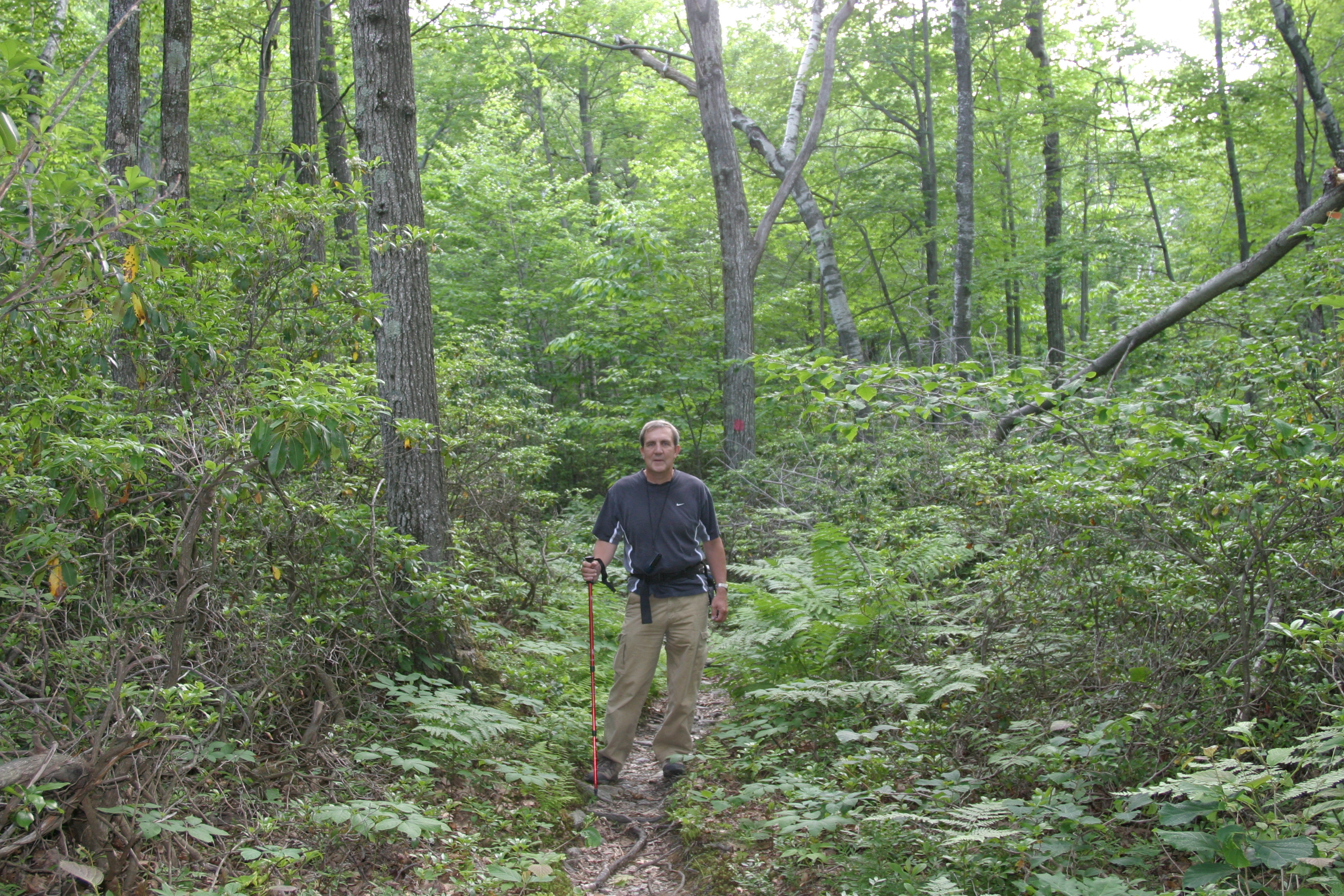
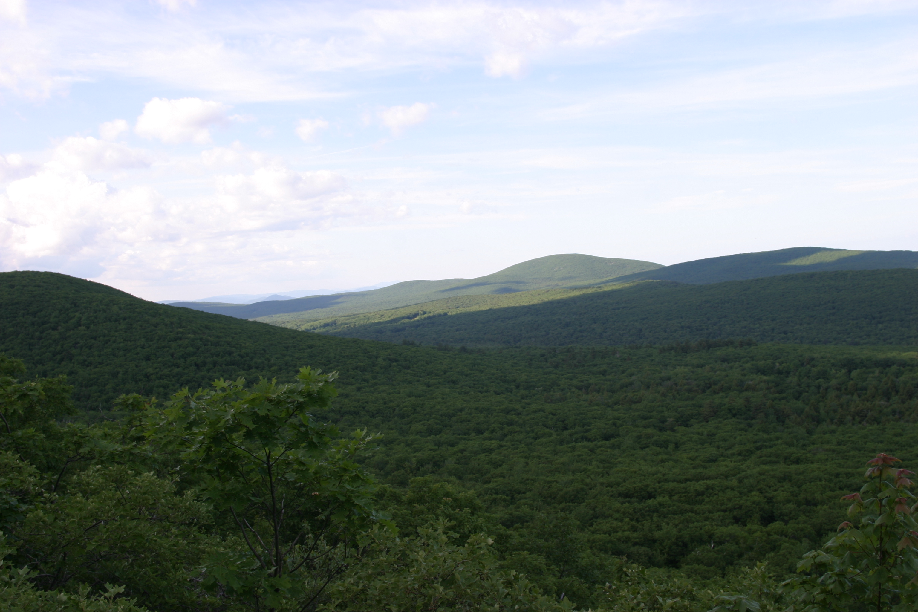
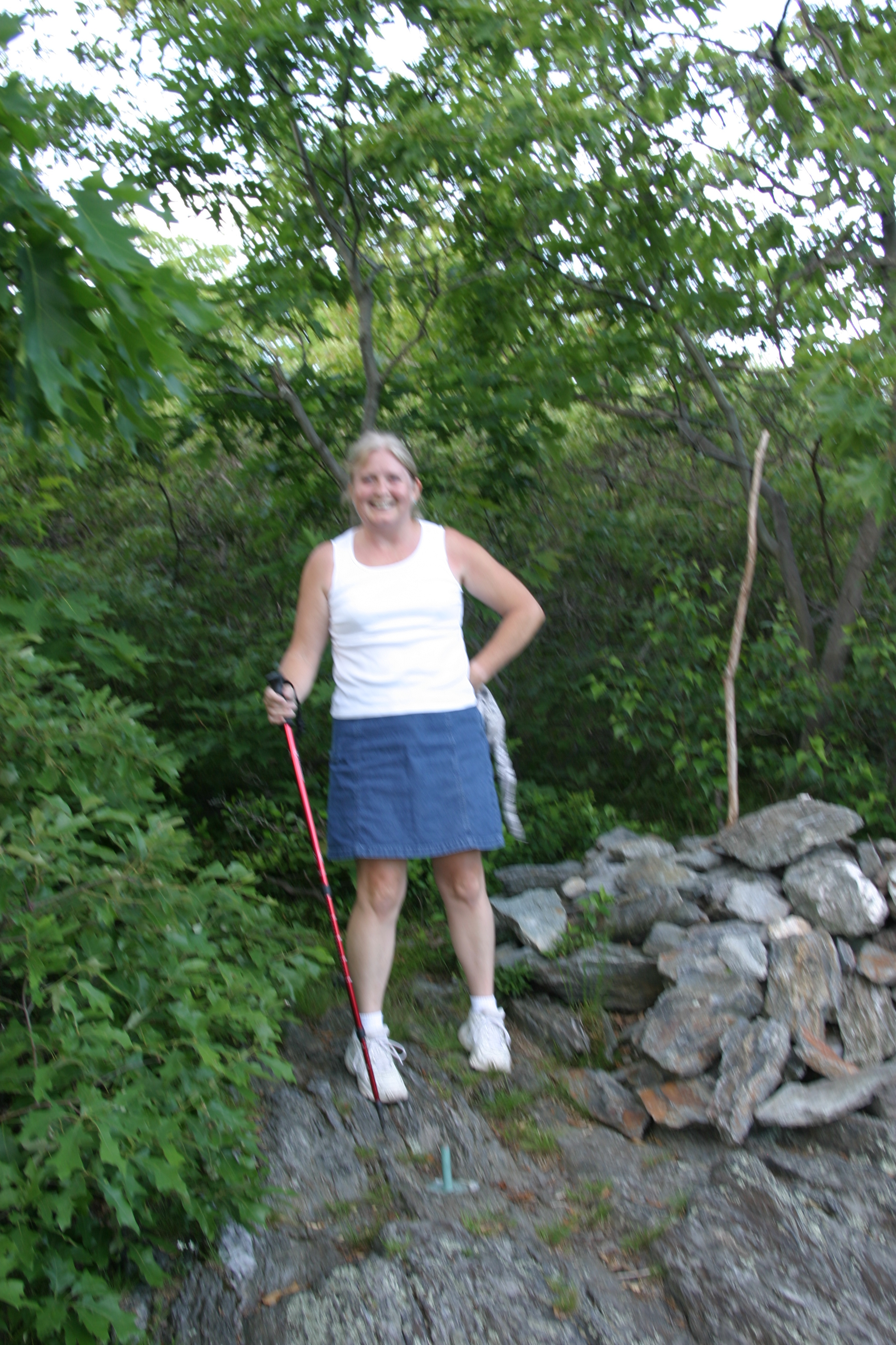
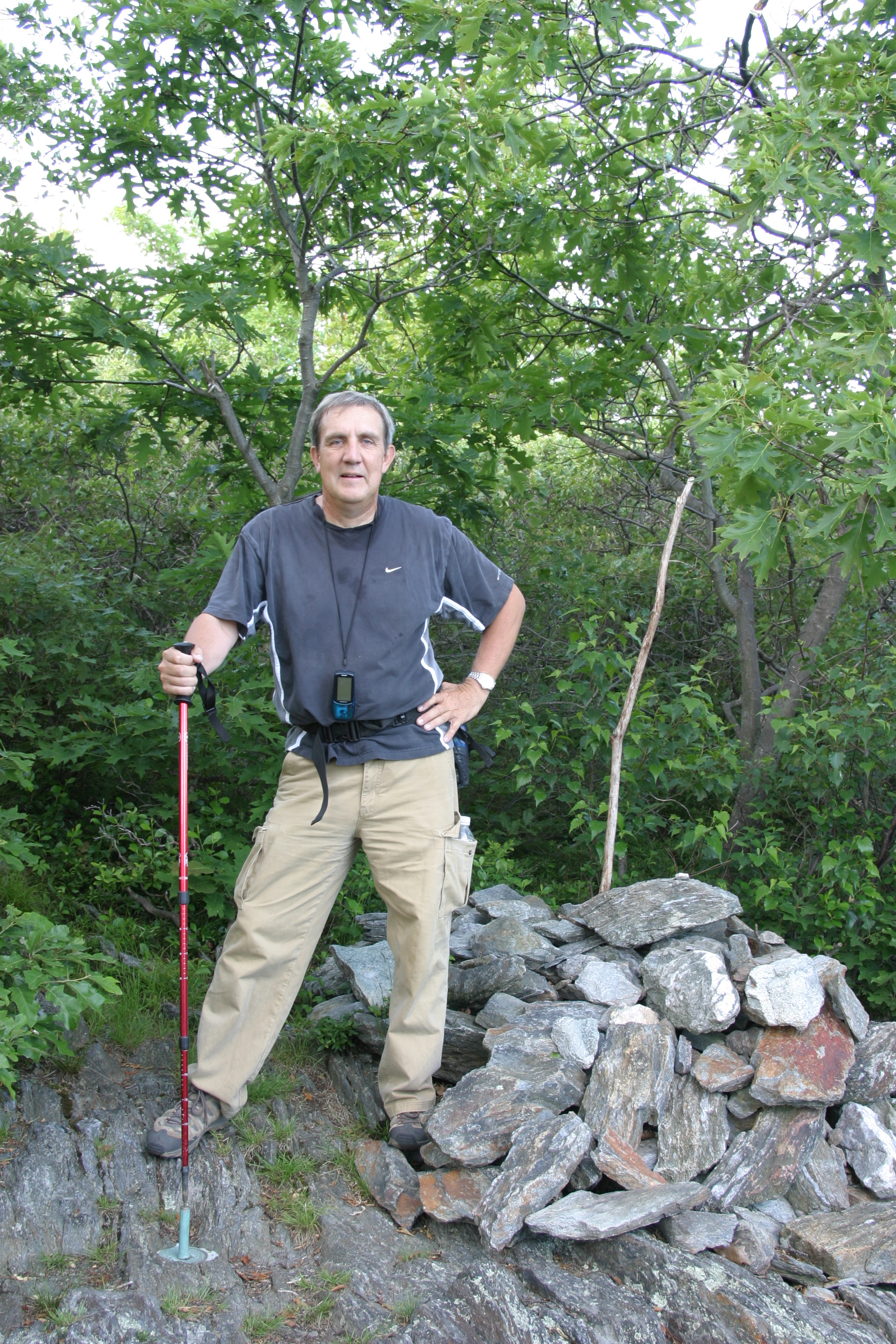
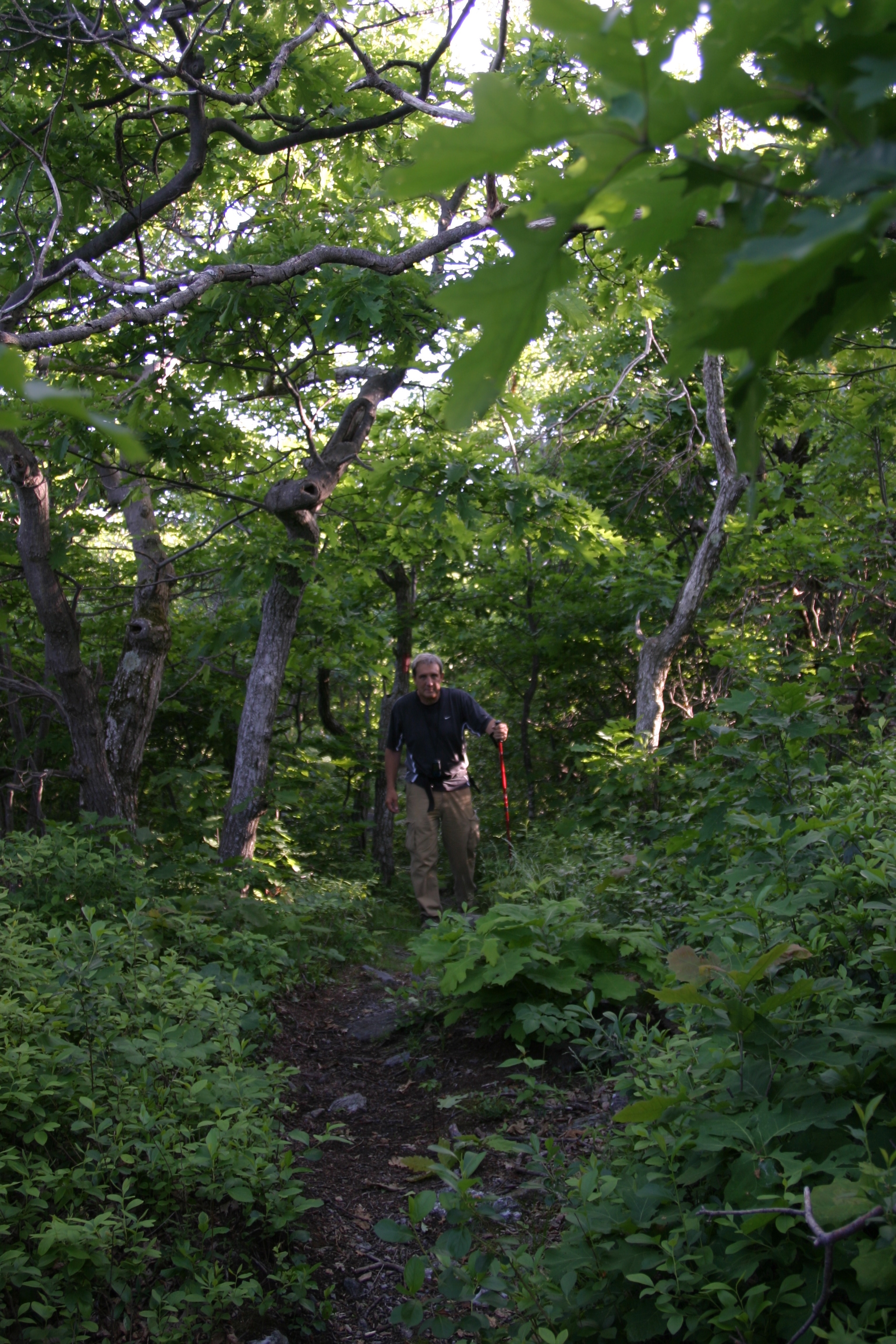
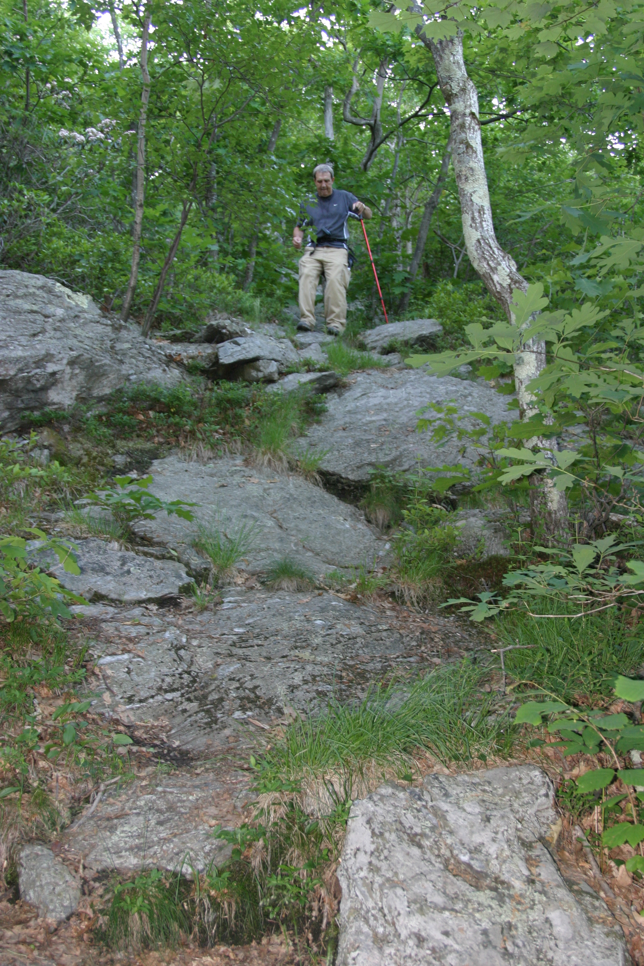
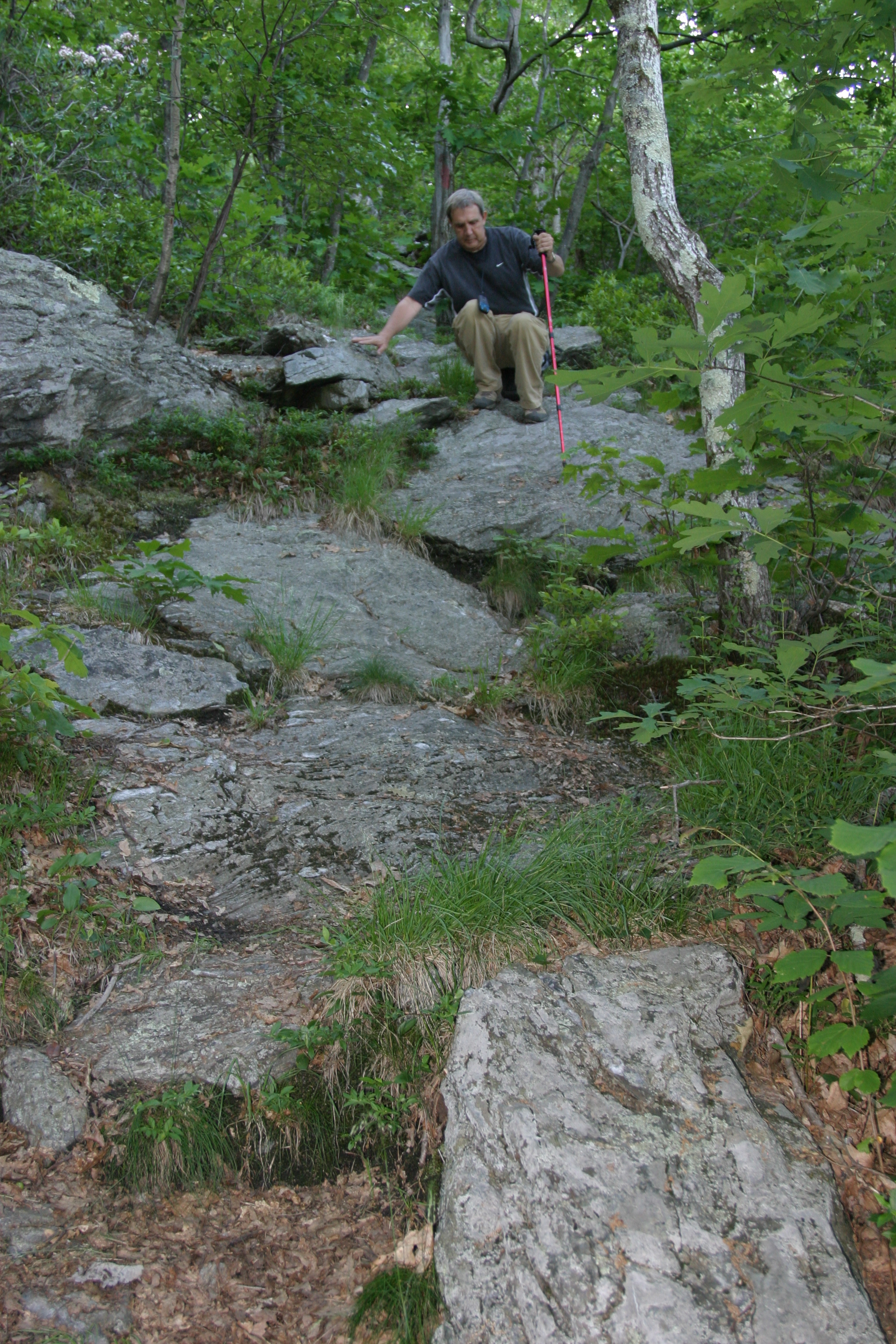
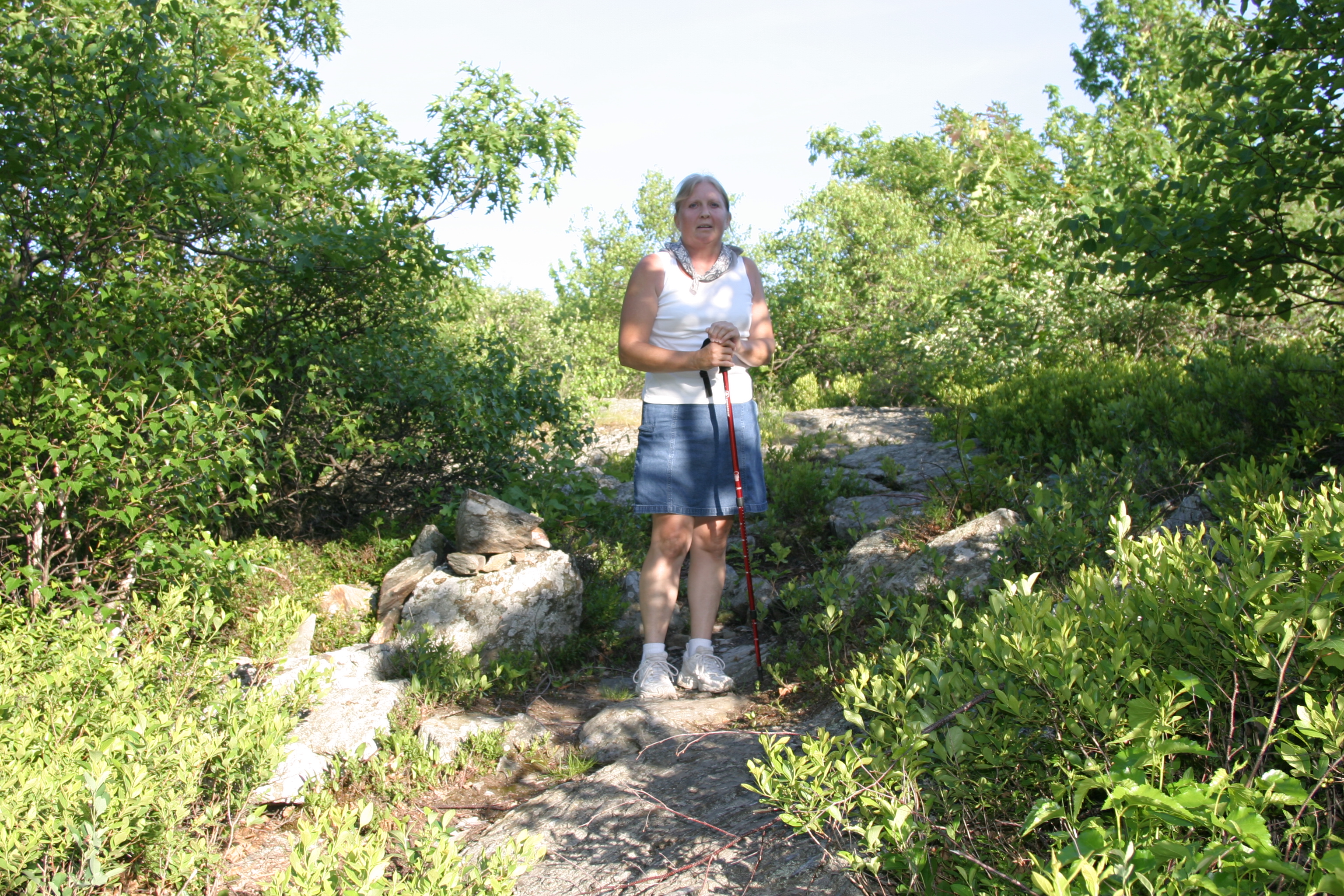
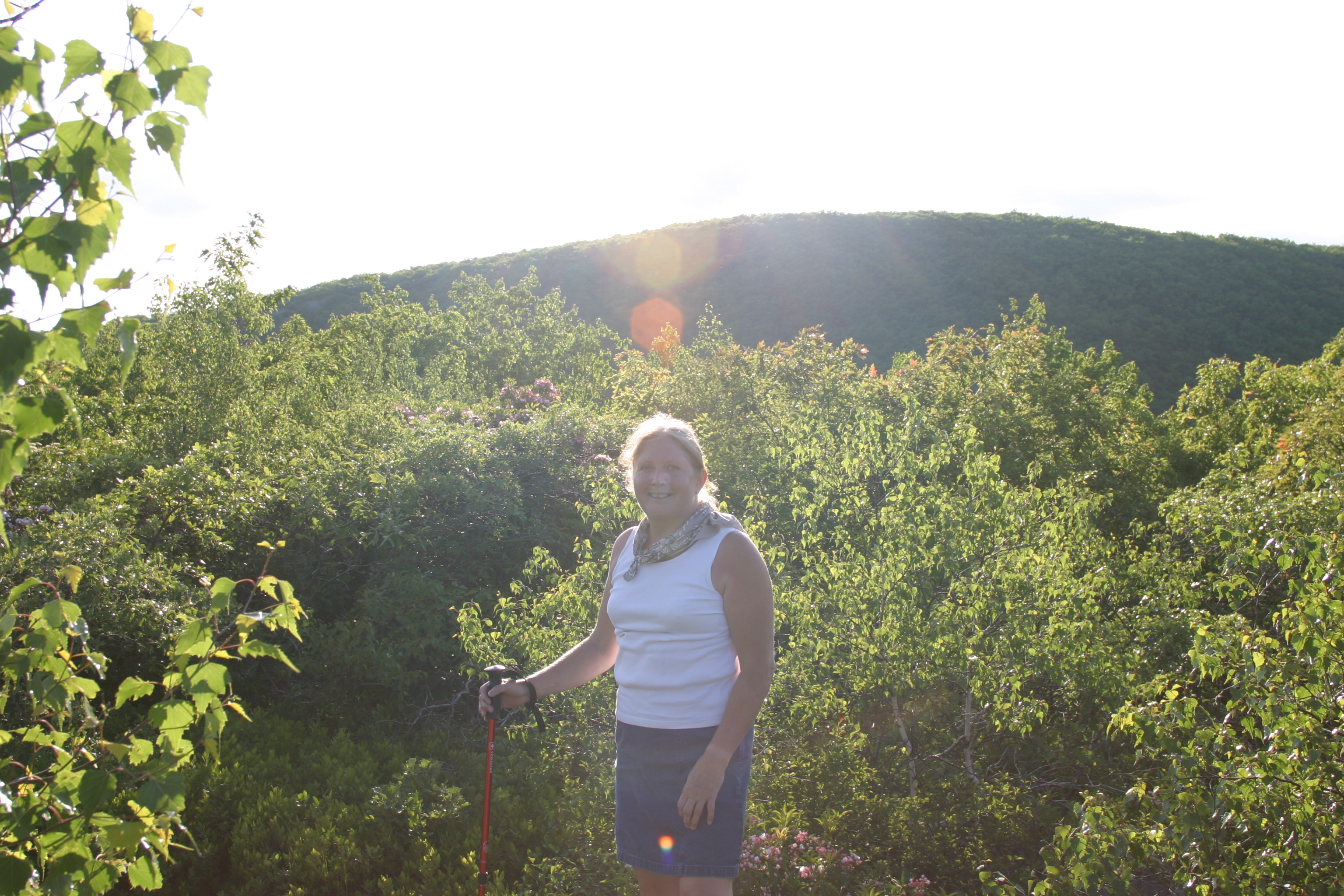
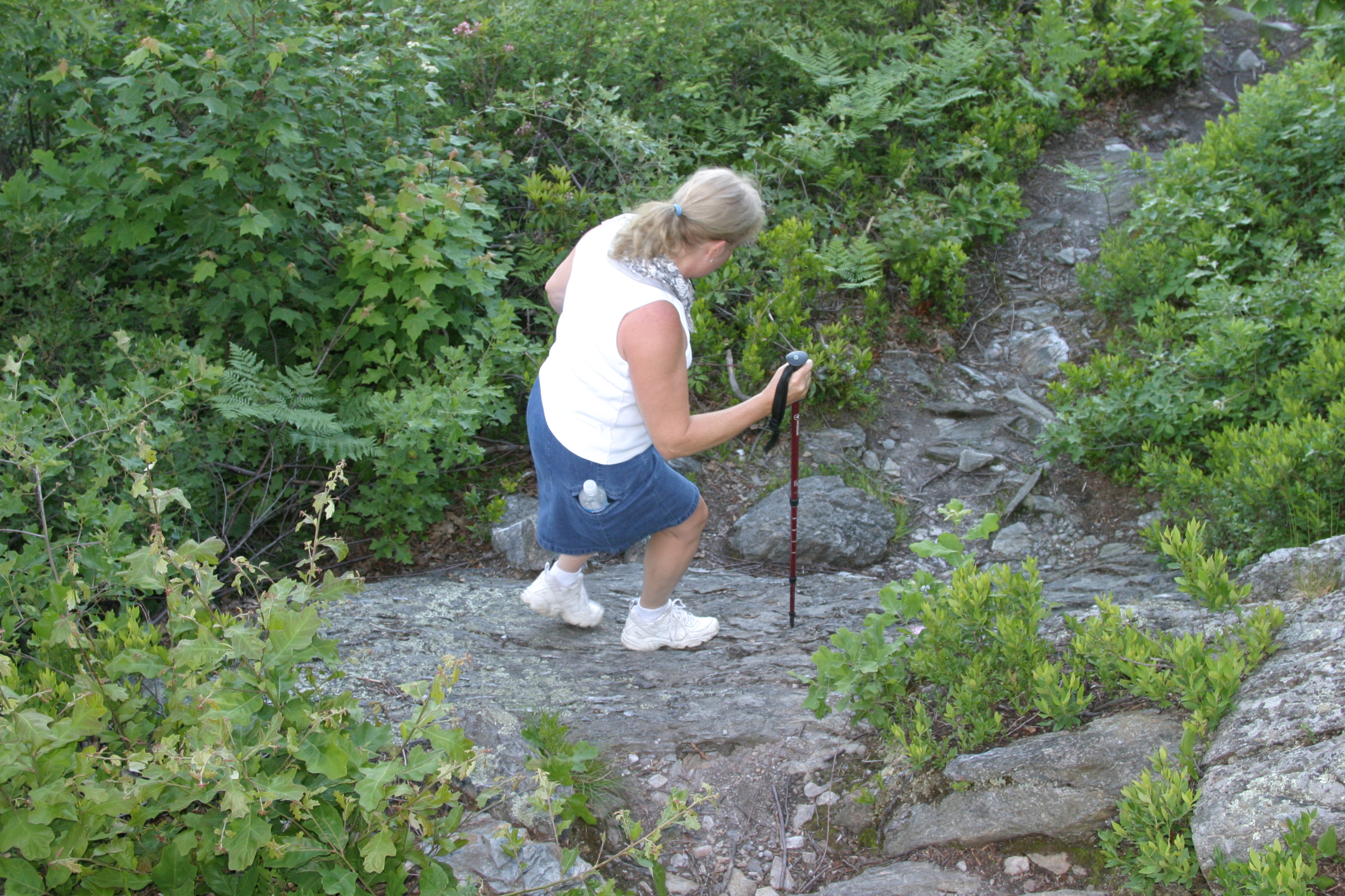
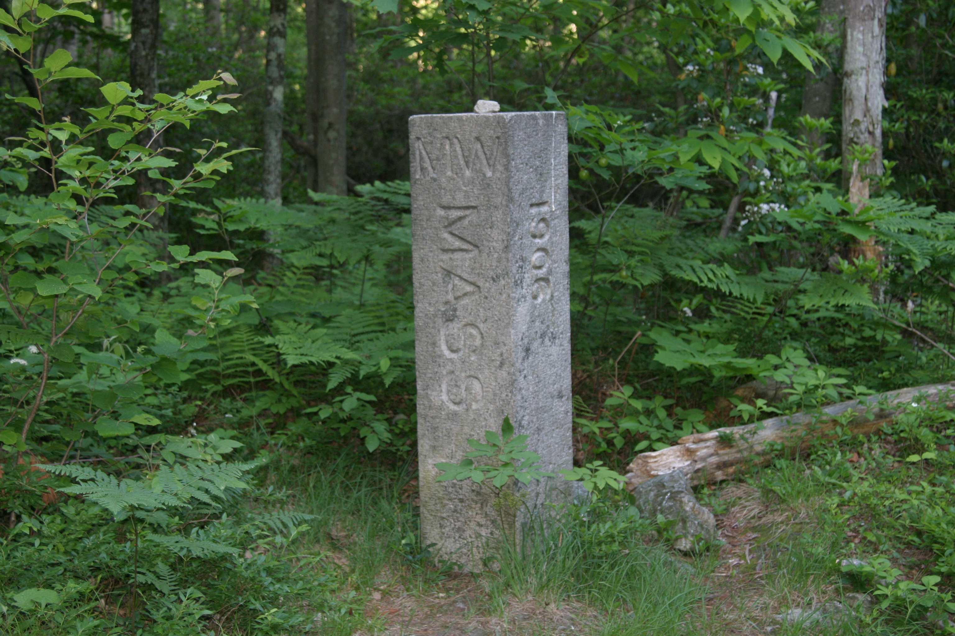
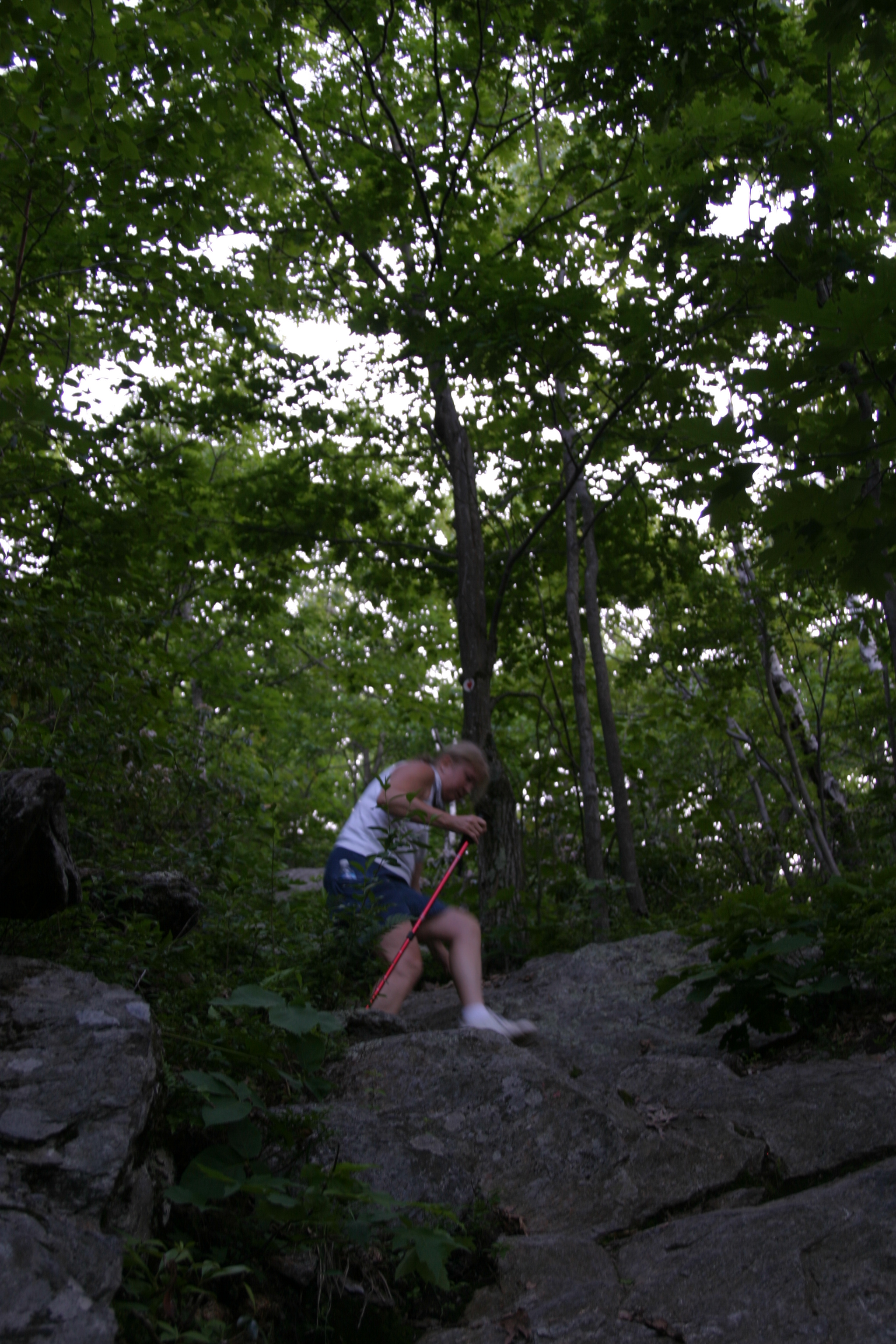
From the AMC parking lot, walk north along the road past the state line marker and turn left onto an old gravel and stone road. In a very short distance, you will see a trail that turns left from this old road. The trail is well-marked with frequent red blazes the whole way. The trail ascends steeply up round mountain where there are views to be had in every direction. From here you can see Mt. Frissell, which is a bit taller. You descend slightly to a col and then climb steeply up Mt. Frissell. At the top, the trail divides with the right spur going a hundred feet to the true summit of Mt. Frissell with a canister on a tree. The left spur goes to the southwest descending a bit and then leveling out. Keep your eyes open for the cairn with a State Line marker. This is the highest point in Connecticut.